
Lancaster Neighbors by Parcel
A block search is most reliable when it documents what each source actually shows. Erie County On-Map defines the nearby parcels and geographic context. Lancaster’s property record system adds the selected parcel’s owner and assessment context. The Clerk then connects an owner or parcel clue to recorded documents, while permits can add dated activity. Historical directories can identify printed occupants from a particular period, not every person connected with an address today.
| Source | What It Shows About a Block | Access |
|---|---|---|
| Erie County On-Map | Adjoining parcels, parcel identifiers, roads, ZIP, district, and environmental layers | Public map and query viewer; boundaries are not a legal survey |
| Town of Lancaster PROS | Selected parcel’s property, owner, mailing, and assessment context | Public portal with interactive result fields |
| Erie County Clerk | Recorded deed, lien, mortgage, and party trail for each parcel | Public index; some images require registration or a public terminal |
| Lancaster BAS permits | Address, owner or business, SBL, location, and dated permit lead | Public search first; office or FOIL fallback for existing records |
| Library directories and census | Historical printed households and enumeration context | Library, database, or archive access |
| Community organizations | Public events, meeting details, and organization contacts | Public pages or direct organization contact |
That division protects against a common mistake: treating a tax owner or a directory entry as a complete list of neighbors. A parcel record can prove a public ownership relationship. It does not establish occupancy, family relationships, delivery recipients, or every person who spends time at the address.
Map Lancaster Neighbor Parcels
Use a single, stated block definition before collecting any record. It may mean parcels fronting one street segment, or it may include the corner parcels at the next intersections. Record vacant, institutional, agricultural, and mixed-use parcels separately. This makes a Lancaster neighbors search reproducible and avoids quietly expanding a block because a polygon happens to touch another polygon at the rear.
- Find the target address in Erie County On-Map and identify its parcel polygon, road, municipality, and parcel identifier.
- Click each polygon sharing a boundary or facing the same defined street segment. Add the nearby SBL or parcel identifier to a worksheet.
- Open the corresponding property card in PROS and note what it actually labels as owner, mailing, situs, and assessment information.
- Carry the owner name, SBL, deed book and page, or instrument clue to the Erie County Clerk when a recorded ownership question remains.
A whole-road project needs the separate Lancaster By Street directory route, which follows addresses along the named street rather than only the immediate block. For a neighbor question, stop once the stated parcel group has been documented and do not turn a map query into targeted contact data.
Lancaster Neighbor Parcel IDs
Erie County On-Map is the block’s spatial crosswalk. Its public layers include parcels, roads, ZIP codes, school and legislative districts, water, wetlands, floodplain, agricultural districts, and soils. The parcel layer was described as current to 2025 on the cited mapping page, but updates are not a promise of a legal boundary or survey-grade corner. Save the source date with a parcel result and rely on the recorded legal description when the exact land interest matters.
The Erie County On-Map parcel viewer provides the Lancaster neighbors map layer used for this address-to-parcel step.
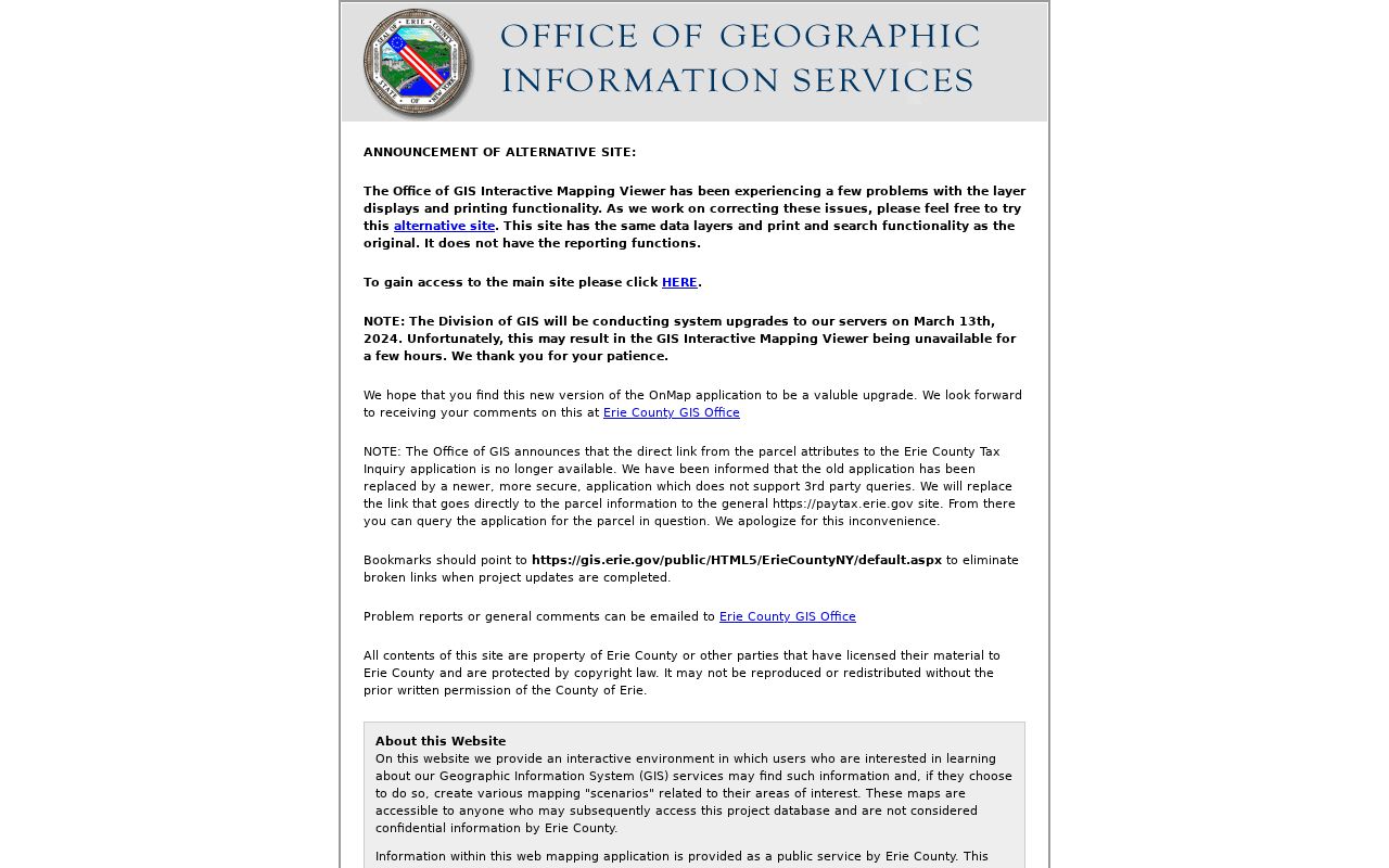
The viewer supports map browse and identify or query work, but exact live adjacent-click, radius, and measure labels were not verified in the static research capture. The sound method is therefore to click and record each adjacent parcel individually. Use ZIP, road, school, and district layers to explain context, not to declare who resides in the area.
Note: Keep town, village, postal label, and parcel identifier as separate fields for each Lancaster address.
Lancaster Neighbors and Permit Dates
Permits can add a dated clue to a block, such as a filing tied to an address, owner or business, SBL, or location. They are not a household list. Search one parcel at a time and preserve the permit identifier, date, property use, and source URL. A permit applicant can be an owner, agent, contractor, or business rather than the person living at the property.
The Town of Lancaster permit parcel search shows the Lancaster neighbors fields for address, owner or business, SBL, and location.
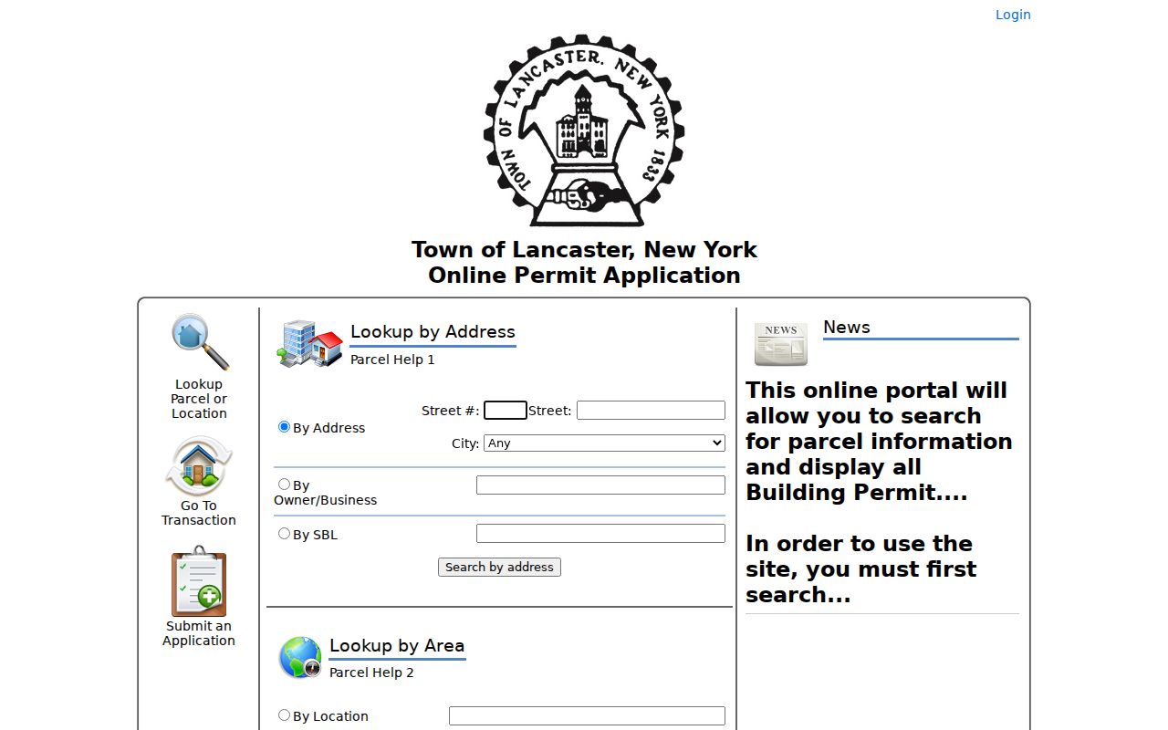
The screen is a starting point, not an archive coverage statement. The researched page did not state an archive start date. If no result is available, ask the Town office what permit or code index exists for the period, then use an office request or FOIL for existing, non-exempt material rather than guessing from an empty search.
Lancaster Neighbor Deed Checks
Erie County’s recorded-land trail begins with the parcel’s name or identifier because the Clerk does not accept a street address for deed searching. The modern online land index begins in 1986, and deed images begin in 1960. For 1960 through 1985, a liber or book-and-page clue and the Graves grantor or grantee index may be needed. Earlier work can require books, microfilm, staff assistance, or a request. That is why the map and property-card steps should come before the deed search.
The Erie County Clerk BrowserView is the Lancaster neighbors deed-search handoff after a parcel produces an owner or recording clue.
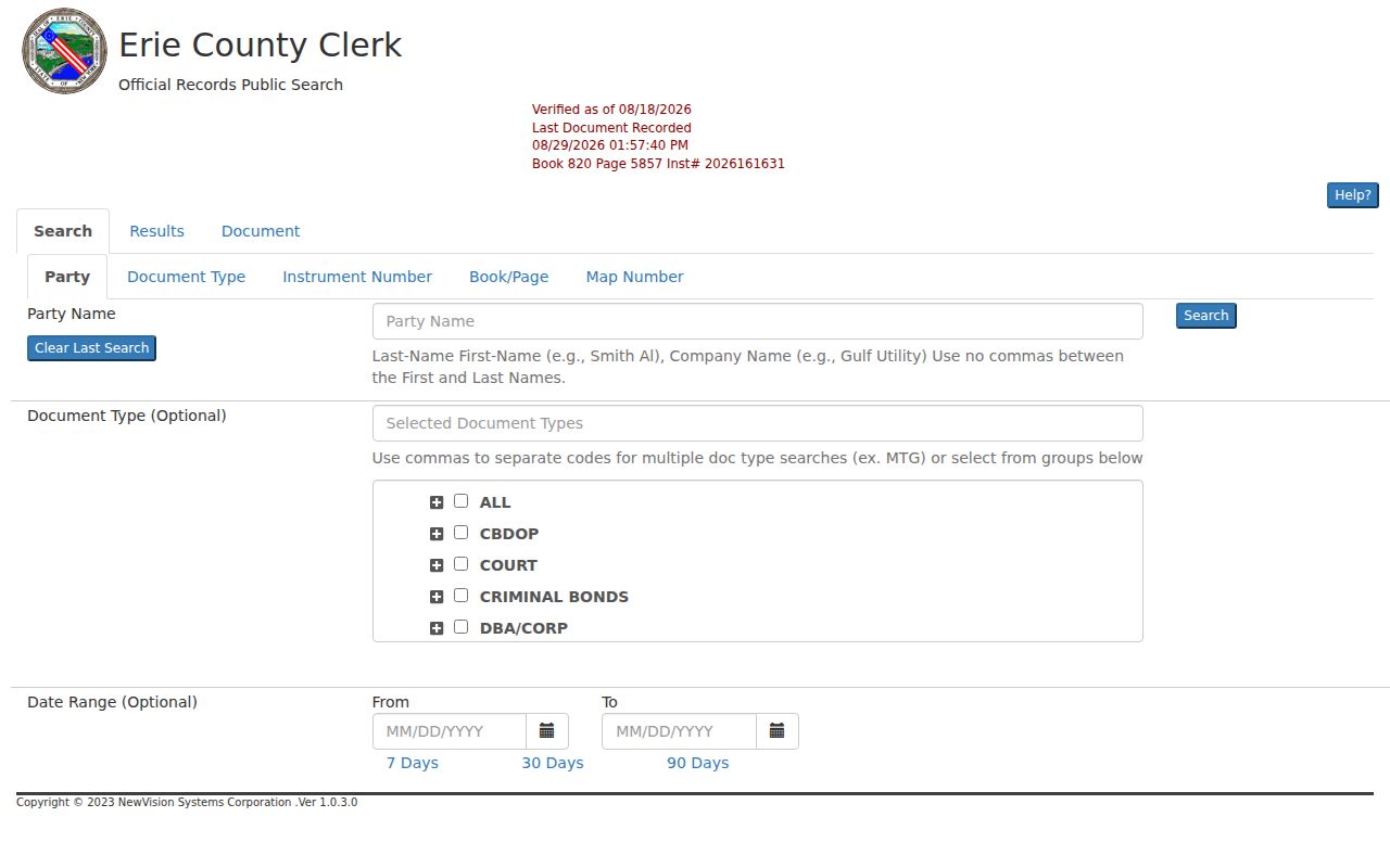
BrowserView offers party, document, map, parcel, and date controls. Its public index can locate a filing, while images may require registered access or a public terminal. A deed identifies parties to a recorded interest. It does not establish that every listed party lived on the block at the time of recording.
Erie’s Property Alert service is a free monitoring option for a known property, but it is not a title guarantee or fraud prevention tool. The service matches exact S-B-L or exact party names, so a person with a suffix or spelling variant needs a separate registration.
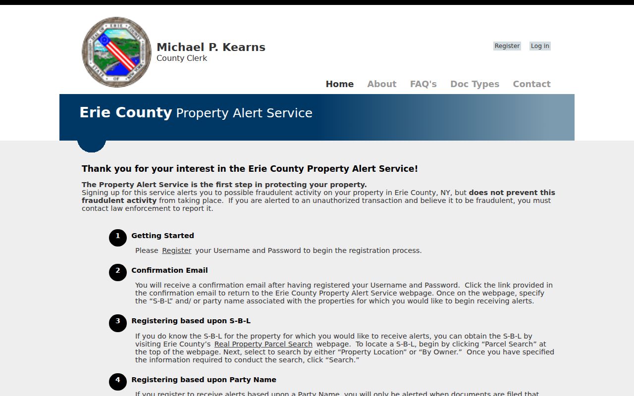
An alert is a prompt to verify a filing with the Clerk and, when appropriate, obtain a certified copy. It does not prove that a document is valid and should never be treated as a substitute for reporting suspected fraud to the proper authorities.
Lancaster Neighbor Property Context
The Town’s Property Record Online System is the best local check after On-Map identifies a specific parcel. It advertises owner, property, and address search capability along with assessment, inventory, exemption, and comparable-sales information. Treat the result as a property record. The owner and mailing fields may differ from the situs, and neither field establishes every current occupant.
The Town of Lancaster PROS property system supplies the Lancaster neighbors property card and assessor contact route.
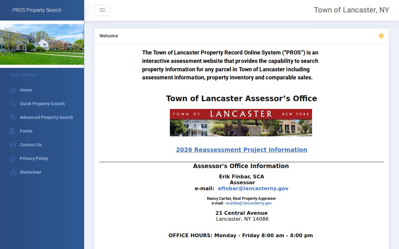
The available page identifies the assessor office at 21 Central Avenue and lists Monday through Friday hours of 8:00 a.m. to 4:00 p.m. Its detailed field controls load in the interactive application, so do not claim a fixed search format beyond the advertised owner, property, and address routes. Ask the assessor about a specific parcel field or record date when the screen alone leaves an ambiguity.
Lancaster Neighbor Civic Connectors
The community layer is useful for public meeting, event, and history context, not for identifying private households. The 2026 Lancaster-Depew plan names Lancaster-Depew Rotary, the Boys & Girls Club, the Lancaster Village Merchant Association, PTAs, libraries, religious institutions, and the Depew Senior Center as community connectors. Village material also identifies the Lancaster Women’s Civic Club, founded in 1913, with meetings on second Wednesdays during its listed seasons. These are places to find public contact points and programs.
| Connector | Block-Relevant Public Information | Access |
|---|---|---|
| Lancaster Women’s Civic Club | Public meeting description and civic history | Organization contact and community material; no member list located |
| Lancaster-Depew Rotary | Named civic partner in the joint plan | Public organization references; no member directory assumed |
| Boys & Girls Club and PTAs | Programs and community contacts | Contact the individual organization; private rosters are not public |
| Libraries and religious institutions | Public programs, history, and event notices | Public contact pages or a direct inquiry |
| Merchant and chamber groups | Business and corridor contacts | Business information only, not a household roll |
The joint Lancaster-Depew comprehensive plan is the source for this civic network. Requesting or copying a private membership roster is not part of a neighbor search. Public events and history can add neighborhood context without exposing people who have not made their information public.
Lancaster Neighbor Voter Limits
New York voter material has an unusually firm limit for a block project. The personal voter lookup requires a county, name, date of birth, ZIP, and address. It does not provide an anonymous mode for listing everyone on a block. A result can help an entered voter confirm registration or poll-site information, but it is not a Lancaster neighbors browse tool.
Official registration records can include address, district, party, registration date, and other statutory fields, but confidential voter files are kept separate under Election Law §5-508. Election Law §3-103(5) also limits voter-file use to an elections purpose. For a lawful election-administration request, contact the county Board of Elections or use the state’s written FOIL process with the required purpose statement. Do not scrape a personal lookup widget or treat a non-match as a residence finding.
Historical household work belongs with directories, census, obituaries, and library collections. A dated printed entry can show who was listed at an address in that edition. It cannot prove an entire block was covered or reveal a present-day household.
Lancaster Neighbor Geography
Walden Avenue and Transit Road cross municipal and postal geography. Transit divides Depew between the Town of Lancaster and the Town of Cheektowaga, while Walden separates the Village of Lancaster and the Town of Lancaster in the joint plan’s description. Broadway, Genesee, Harris Hill or Central, Aurora, and Bowen are also useful corridor labels. A postal “Lancaster” line therefore does not decide which Town, Village, county, or district record applies.
Use the parcel’s town and village fields together with the road and ZIP layers before calling an office. USPS ZIP data is a delivery designation, and the census ZCTA layer is a generalized area, not a proof of municipal authority or occupancy. This local geography is why a consistent parcel worksheet matters more than a quick search by postal city alone.
Lancaster Neighbor Privacy Limits
Official parcel and recorded-land systems are better for a documented block question than commercial neighbor-search products. The official route identifies the parcel, the field shown by the property record, and the recorded document behind a name. Commercial category tools can combine marketing, directory, and public-record data, then retain stale entries or join people with similar names. Neither type of result should be used to make a claim about a private household.
| Record Route | Strength | Limit |
|---|---|---|
| Official parcel, PROS, and Clerk records | Traceable source, parcel, date, and custodian | Owner or filing party may not be an occupant |
| Commercial neighbor category | Can suggest an old lead | May be stale, merged, incomplete, or lack custodian confirmation |
Non-owner occupants, household members, protected voters, Address Confidentiality Program participants, utility customers, delivery recipients, and visitors are not a public block directory. Boundaries on a map are not an invitation to collect or publish personal details.
Lawful use. Use Lancaster neighbors information for personal, lawful research and civic context. Do not use records, maps, or public contact details to watch, stalk, harass, threaten, or harm anyone.