
Lancaster ZIP Coverage
Lancaster is a town in Erie County with Village of Lancaster and Village of Depew boundary interactions. Official research identifies 14086 as the principal Lancaster postal ZIP. Nearby public municipal and county material also uses Depew, Alden, Buffalo, and Williamsville postal labels in the broader area. Those labels can be relevant to a particular address, but the research did not produce a static authoritative table of every ZIP that intersects the Town of Lancaster. A full address must be checked with USPS before a parcel is assigned to any listed ZIP.
| ZIP | Areas Covered | Post Office | Notes |
|---|---|---|---|
| 14086 | Lancaster postal city; Town and Village of Lancaster plus nearby Lancaster addresses | Lancaster postal route | Verified principal postal ZIP; confirm each address with USPS |
| 14043 | Depew postal city; overlapping Village of Depew and Town of Lancaster geography | Depew postal context | Municipal and postal lines differ; address-level USPS check required |
| 14004 | Alden postal area in surrounding Lancaster-area official survey material | Alden postal context | Do not assign it to a Lancaster parcel without USPS confirmation |
| 14227 | Buffalo postal area on western or southwestern neighboring addresses | Buffalo postal context | Boundary and postal label need address-level confirmation |
| 14221 | Williamsville postal area in regional survey context | Williamsville postal context | Not a Lancaster ZIP without a confirmed address result |
This is not a claim that the table is a complete Town ZIP set. It distinguishes the verified Lancaster postal label from nearby labels that need address-level confirmation. The research found no verified ZIP split, realignment date, or historic postal-boundary table for Lancaster, so no such history is asserted here.
Check Lancaster ZIP Addresses
Use the official USPS ZIP Code Lookup before treating a postal label as a search filter. USPS provides three useful paths: “ZIP Code by Address” for a known address, “ZIP Codes by City and State” for a postal city's results, and “Cities by ZIP Code” to see returned city names. Save the complete result text with the address rather than recording only the five-digit code. That leaves a clear trail when a later parcel or municipal record uses different place wording.
USPS cautions that a ZIP result does not prove a person or company occupies the address. It answers a delivery question. The result should be paired with a current parcel, town or village field, and a record source appropriate to the question. A postal-city label is not a substitute for confirming whether an address lies in the Town of Lancaster, Village of Lancaster, Village of Depew, or a neighboring municipality.
Note: Preserve the full USPS response and the date checked, because a five-digit ZIP alone does not identify the governing municipality.
Lancaster ZIP Map Layer
The Erie County On-Map viewer supplies the local map comparison. Its documented layers include parcels current to 2025, roads and highways, ZIPCODES, school and legislative districts, water, wetlands, floodplains, agricultural districts, and soils. For a Lancaster ZIP search, turn on the ZIPCODES layer, locate the address or street, then inspect the parcel's town and village fields. The map is for viewing and querying, not a legal survey or a navigation tool.
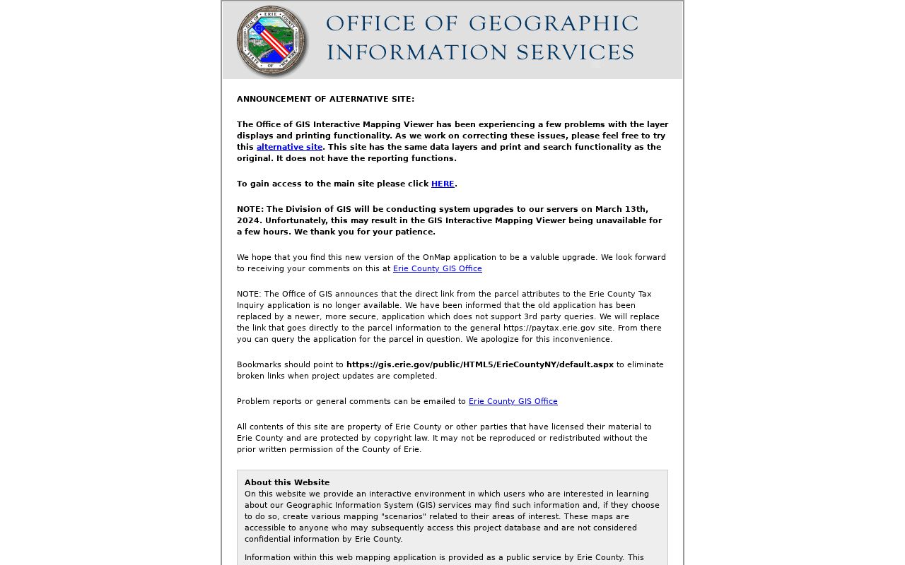
On-Map provides the geographic cross-check that the postal lookup cannot. Its parcel metadata can expose a town name, village name, road name, parcel number, PIN, dimensions, subdivision, block, original sublot, great lot, railroad, special-district, and route fields. The image layer does not include a deed image, so move from a mapped parcel to the appropriate property or Clerk route when an underlying document is needed.
Lancaster ZIP Parcel Context
The Town of Lancaster Property Record Online System, or PROS, is the town's assessment and property resource. It advertises owner, property, and address parcel searching along with assessment information, property inventory, and comparable sales. Its static page does not state a ZIP filter, so it should not be described as a ZIP-wide directory. Use a confirmed address or parcel result to reach the property record, then keep mailing address, situs, and municipality as separate fields.
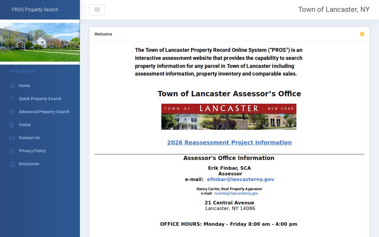
PROS provides the parcel-side context after a postal check. A situs address is the physical place tied to the parcel, while a mailing address is where notices go. Neither label alone identifies every member of a household. The assessor's office is at 21 Central Avenue, and PROS lists Monday through Friday hours of 8 a.m. to 4 p.m. for an access question the interactive page cannot answer.
Lancaster ZIP Search Fields
ZIP is only useful when a record system actually accepts it. The research captured several official interfaces where it is one documented field, along with systems where it is not a public browse filter. The table reflects those captured controls and limits. It does not turn a personal confirmation service or a map layer into a ZIPwide roster.
| Source | Fields Documented | How ZIP Participates | Limit |
|---|---|---|---|
| NYS voter lookup | County, last name, first name, date of birth, ZIP, and address | Part of a personal query | Confirms a known voter's registration or poll information; not a ZIPwide public roll |
| NYS license search | Last name, first name, license type, county, city, and ZIP | Optional search field | Public license-status search; returned detail varies by record |
| NYS unclaimed funds | Name, first name, city, ZIP, and property ID | Optional refiner | Claim-search field, not a household directory |
| Erie On-Map | ZIPCODES map layer with parcel and municipal fields | Visual comparison layer | Layer view does not certify a delivery address |
| Erie Clerk BrowserView | Party, document type, instrument, book/page, map number, parcel ID, town, and date | No public ZIP browse mode documented | Use a parcel-to-name route, not a street-address or ZIP search |
New York's voter lookup requires a cookie-enabled, JavaScript-enabled browser and personal fields. Erie County Board of Elections and the State Board of Elections have separate public-record channels for voter data, with statutory purpose limits for a fuller voter-file request. The ordinary lookup should remain a known-person confirmation tool, not a way to compile a neighborhood list.
Find Lancaster Records by ZIP
A ZIP code directory search works best as a narrowing process, not a claim that a postal code identifies all people or all parcels. Start from a known address, use the postal result, then compare it with mapped local geography. Select the record channel by the question: PROS for a town parcel, On-Map for boundaries and parcel context, the Clerk for an identified recorded filing, and the personal voter lookup only for its stated purpose.
- Enter the full known address in USPS “ZIP Code by Address” and save the returned postal city and ZIP.
- Open Erie On-Map, enable ZIPCODES and parcels, and compare the delivery result with the town and village parcel fields.
- Use the confirmed address, parcel number, or PIN in the local property route when a parcel record is relevant.
- Carry the municipality and parcel identifiers into the next official record system instead of searching the Clerk by street or ZIP.
- Recheck any mismatch against the exact address, road name, and postal result before treating it as a record conflict.
Once the parcel and municipality are established, the Lancaster street directory has the fuller address-by-address process. That separate route is more useful than trying to infer a street-level trail from a postal code alone.
Lancaster ZIP Corridors
The March 2026 Lancaster and Depew plan explains why postal and municipal labels need careful handling. It identifies I-90, Genesee, Walden, and Broadway as major east-west routes, with Transit Road, Harris Hill Road and Central Avenue, Aurora Street, and Bowen Road among the north-south routes. Transit Road divides Depew between the Town of Lancaster and Town of Cheektowaga. Walden Avenue separates the Village of Lancaster and Town of Lancaster in the plan's description.
These corridors are geographic cues, not a ZIP boundary list. A record search should preserve the address, road name, postal city, ZIP, town, village, and parcel identifiers together. The 2026 joint plan helps explain the boundary context, while USPS and On-Map remain the tools for checking a particular address.
Lancaster ZIP Code Boundaries
A ZIP result, tax owner entry, or voter confirmation does not prove that every person connected with an address lives there. The systems answer different questions and can use different update schedules. A mailing address may be distinct from the parcel's situs address. A tax or assessment record can identify an owner or recipient without describing current household composition. A voter record has confidentiality rules and is not a general browseable roll. Where the delivery result does not match a town or village field, treat the postal label as a boundary clue that requires address-level verification.
New York's Address Confidentiality Program and confidential voter registration can keep qualifying participants out of ordinary address-search results. That absence is not evidence that a person has moved or that a postal search failed. Where the source itself offers no ZIP filter or does not publish a record, use the documented office or request channel rather than trying to reconstruct private data from adjacent sources.
Note: A disagreement between a postal label and a municipal field is a prompt to verify the address, not proof that either record is wrong.
Lancaster ZIP Terms
These terms keep the Lancaster ZIP code directory focused on the distinction between delivery geography and property geography. They are useful when comparing a USPS result, an On-Map layer, and an assessment record for the same address.
- ZIP versus ZIP+4
- A ZIP is the five-digit postal routing code. ZIP+4 adds four digits for a more specific delivery segment; it is not a municipal boundary.
- PO-box ZIP
- A code used for post-office-box delivery. It should not be treated as the physical location of a parcel.
- Unique ZIP
- A delivery code associated with one organization or high-volume recipient. No Lancaster-specific unique ZIP was verified in the research.
- Carrier route
- A Postal Service delivery grouping used within a ZIP area. It is not a town, village, or parcel boundary.
- ZCTA
- A Census Bureau generalized area built to approximate ZIP geography, not the same thing as an individual USPS delivery boundary.